This adventure has tested Forest and me quite a bit. I am not used to handling stress without my wife being there to help, especially when my body and mind are both worn and battered. Tuesday night we stayed at the Birch View Motor Lodge in Shelburne, NH. I have to say that it was the most organized, put-together, hassle-free place I've stayed at so far. The owners, Carole and Dave, treated me like family. They have 3 dogs of their own, but out of respect for Forest as a service dog, they kept their dogs inside or leashed just for me. They picked us up at the trailhead Tuesday afternoon, picked up 2 of my 3 resupply packages (1 hadn't arrived yet, so I had to stop yesterday morning to pick it up) and had them waiting for me, gave us rides to and from town, and took us back to the trailhead yesterday morning. I can't thank them enough for their hospitality and support at a time when I really needed to be stress-free. If you ever happen to go through Shelburne, NH, be sure to stop at the Birch View Motor Lodge and tell them Forest Fisher sent you.
After we picked up my third package (which contained the loaner tarp from Hammock Gear) yesterday, Carole and Dave dropped us off at the trailhead a little before noon. Ahead of us was the toughest 120 miles on the trail. Of course, as soon as we set out, we began to hear thunder. Per the Appalachian Trail Conservancy website, "New Hampshire features more miles above treeline than any other Trail state. This provides exposed ridges with amazing views when the sun is shining, as well as the worst weather in the world when storms hit. Special regulations govern the White Mountains due to the fragile nature of the alpine tundra as well as the danger that exposed areas pose to hikers. The mountains are very steep here, and you need to be in seriously good shape with strong knees before tackling them." In the 161 miles of Trail in New Hampshire, the elevation ranges from 400 feet to 6,288 feet.
We left the trailhead and walked south, parallel to the Rattle River, toward the Carter Moriah Range of the White Mountains. The Trail followed an old road bed, so it was just a nice walk in the woods. There were a couple of water crossings, but they weren't too bad. In 2 miles we passed the Rattle River Shelter. The Trail past the shelter was a mix of forest and and several more stream crossings, one that took us across large rocks. Nothing Forest and I couldn't handle. Then the Trail began to climb toward Mount Moriah, and we decided to set up camp for the night at the next water source.
This morning I felt a little stronger and in better spirits. The Trail continued its steep rise as we climbed up Middle Moriah Mountain, descended into the gap and then rose again. We climbed two long sections of rock stairs and walked across bog bridges toward the summit of Mount Moriah (elevation 4,049 feet). My first summit of the New Hampshire White Mountains. We took a break and then hiked back down Mount Moriah and past the Imp Shelter, where we stopped to collect water and take a short break. Then, we continued toward North Carter Mountain, with more bog bridges. Our goal for the day was to climb North Carter, Middle Carter and South Carter Mountains and camp for the night at Zeta Pass. North Carter was steep, but Middle Carter and South Carter would be easier. We'd be stealth camping at Zeta Pass, but at least there should be water there.
Thursday, August 16, 2018

Tuesday, August 14, 2018
Gentian Pond Shelter to U.S. 2, Shelburne/Gorham
We woke up this morning to clouds and rain, but were motivated to get on the move to my next resupply point, which was about 10 miles away. When we left the shelter, we passed Gentian Pond, began a steep climb toward the west and then descended through more swampy woodland (yuck). Next, we crossed the inlet brook of Dream Lake and briefly followed a logging road. Then, we went up a small ridge and downhill again to cross the west branch of Peabody Brook and began to climb again. After we reached Wocket Ledge, the Trail descended steeply, and we crossed the Page Pond outlet beaver dam. Three minor peaks followed. After we descended from those, we climbed Cascade Mountain (2,631 feet) and descended into a valley where we took a quick break for lunch.
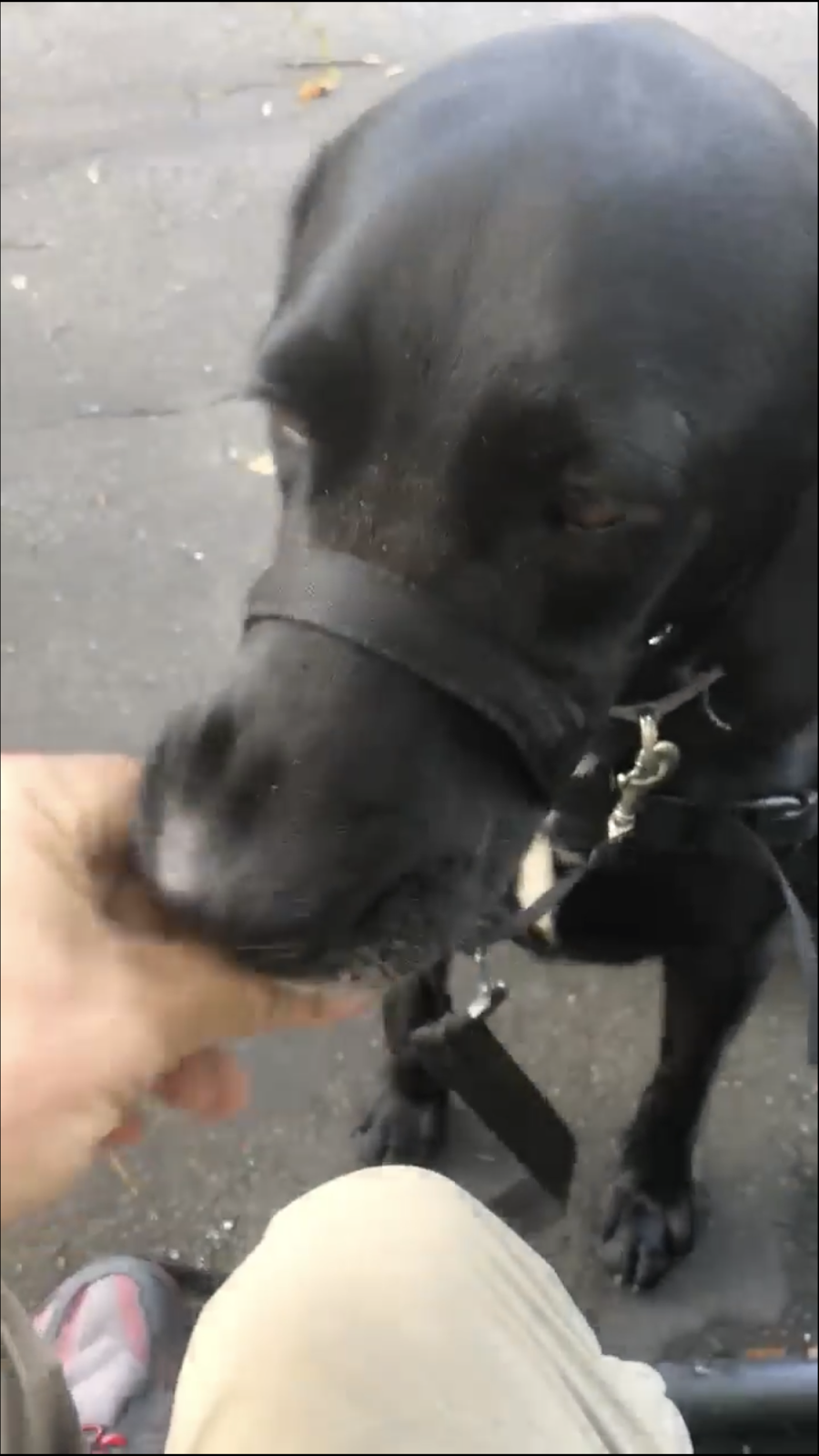
When we got moving again, we climbed Mt. Hayes, which included a series of open ledges. I imagine the view from those would have been pretty spectacular...on a sunny day. As we hiked away from Mt. Hayes, we crossed a logging road and a brook and then followed a series of roads down to the U.S. 2 trailhead (Mile Marker 298.3), which was my next resupply stop. We caught our shuttle and headed to the motel where my packages were waiting. After we got cleaned up, we headed into town to pick up a few things. Before we headed in, Forest and I practiced his retrieval skills a bit—it helps both of us to stay fresh on his commands.


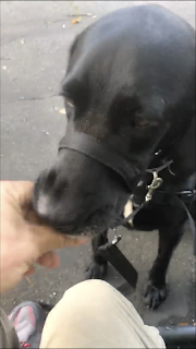
When we got moving again, we climbed Mt. Hayes, which included a series of open ledges. I imagine the view from those would have been pretty spectacular...on a sunny day. As we hiked away from Mt. Hayes, we crossed a logging road and a brook and then followed a series of roads down to the U.S. 2 trailhead (Mile Marker 298.3), which was my next resupply stop. We caught our shuttle and headed to the motel where my packages were waiting. After we got cleaned up, we headed into town to pick up a few things. Before we headed in, Forest and I practiced his retrieval skills a bit—it helps both of us to stay fresh on his commands.


After we got back from town, we grilled hamburgers for dinner. I have to tackle my resupply box and get reorganized, but I may have to leave that for morning. Right now, I'm feeling drained, sore and exhausted. We're socked in with heavy rain; maybe that will lull me to sleep if there's no thunder.
Monday, August 13, 2018
NH Border to Gentian Pond Shelter
See ya, Maine!

We hiked from the New Hampshire border, climbing along an unnamed mountainside up the ridge of Mt. Success to the summit (3,565 feet), where we took a break. From there, we descended onto ledges, reentered the woods, crossed a brook and headed down into the gap (FYI: another word for a "gap" is a "col," the lowest point on a mountain ridge between two peaks). The Trail then led us over two humps too small to be called peaks, crossed a ridgetop, headed down the ridge and entered a spruce forest. At 2,166 feet we reached Gentian Pond Campsite/Shelter (Mile Marker 286.5). Water was available here from a small inlet brook, so we stopped to collect some and then set up camp for the night.

This morning we hit a lot of swampy woodland. It was very slow going, and every rock became an obstacle course. Our feet and trekking poles kept sinking in the swamp mud, and a couple of times we had to stop to pull Forest out of the quagmire. He didn't seem to care about the mud, though. LOL The temperatures today have been in the 50s. Normally, I love that temperature for hiking, but when it's wet and muddy, not so much.
We hiked from the New Hampshire border, climbing along an unnamed mountainside up the ridge of Mt. Success to the summit (3,565 feet), where we took a break. From there, we descended onto ledges, reentered the woods, crossed a brook and headed down into the gap (FYI: another word for a "gap" is a "col," the lowest point on a mountain ridge between two peaks). The Trail then led us over two humps too small to be called peaks, crossed a ridgetop, headed down the ridge and entered a spruce forest. At 2,166 feet we reached Gentian Pond Campsite/Shelter (Mile Marker 286.5). Water was available here from a small inlet brook, so we stopped to collect some and then set up camp for the night.
Sunday, August 12, 2018
Leaving Maine
We got a late start this morning because I wanted to let Forest rest as long as he wanted to; he was such a champ yesterday. I had a short 5.8-mile day planned, so he wouldn't overdo it. We would be hiking through wet clouds all day.


Today's hike began with a short climb the rest of the way up Fulling Mill Mountain (we had stopped last night just a couple of miles short of the summit), and then about a half-mile descent to Full Goose Shelter (Mile Marker 276.9). Just past the shelter, we had to navigate down a wooden ladder to continue on the Trail, which immediately began climbing again up the North and East Peaks of Goose Eye Mountain and past the side trail to the main summit. For about 3 miles, we climbed more wooden ladders, traversed a nerve-racking steep ledge, and crossed in and out of the treeline before stopping to take a break.
After our break we descended about 800 feet, and then the Trail climbed to the summit of Mt. Carlo. The path over the summit (3,565 feet) included boardwalks through alpine bogs, which meant lots of bugs. After making a quick stop to collect water, we kept moving just past the Carlo Col Shelter (Mile Marker 281.3) to the Maine/New Hampshire state line where we stopped for the night.

It felt so good to say goodbye to another state today!
- Georgia: ✓
- North Carolina: ✓
- Tennessee: ✓
- Virginia: half-✓
- Maine: Freakin' ✓, Man!
Old Speck Mountain, Part 2; Speck Pond; and Mahoosuc Notch!
After replenishing our supplies yesterday, I was able to enjoy my usual breakfast this morning.

At about 8:45 this morning we resumed out hike up Old Speck Mountain. From this point on it wasn't quite as steep as the mile we climbed yesterday, but the Trail took us up rugged terrain that included some rock ledges with great views of the Notch that we'll be descending into later. We reached the summit by about 1 p.m.


We could see the path that we would follow down to Speck Pond, the Speck Pond Shelter and Mahoosuc Notch, which we could just see from Old Speck (second photo below, just right off the tip of my trekking poles).


We reached Speck Pond and Speck Pond Shelter at about 5:30 to collect water and take a break. The beginning of Mahoosuc Notch was only a half-mile ahead of us. As we sat there, Forest just gave me one of his looks that says, "Seriously!? Can we just go now? You're stalling."


Although it covers only 1 mile of the Trail through the Mahoosuc Mountain Range, the Mahoosuc Notch has been called the hardest mile of the entire Appalachian Trail. It's rarely hiked by anyone other than thru-hikers or the hardiest of section or day hikers. People have been known to take anywhere from 1 to 4 hours to get through the section, which is basically a ravine filled with boulder after boulder, ranging in sizes from several feet to as large as trucks. In addition to a lot of rock climbing, it includes small crevices that you have to crawl through without your pack and a bunch of caves to navigate where it's difficult to see. One blogger called it "one giant jungle gym" (Powder River, August 7, 2011), which seems to fit.


We headed into the Notch at 6:10 p.m. I've been planning for and looking forward to this part of the Trail since we started, and it certainly didn't disappoint. It was like a giant puzzle that we had to figure out step by step, so it was just as much an exercise for the mind as an exercise for the body. We took a 20-minute coffee break in the middle to let Forest rest a bit, and then forged ahead. I'm proud to say that we got through the Notch in just 1.5 hours, which I think exceeded the expectations of most people following our journey. Some people that I consulted along the way said that I was crazy to take a dog through the Notch at all. To those people, I can only say, "You don't know Forest." In the beginning I had to slow him down, and there were a few times I had to lift him and lower him, but he let me do whatever I needed to without a single hesitation. He was brave, confident, nimble and tough. He ballerina'd his way through like a professional and really seemed to have fun with it. I think I'll be on an adrenaline high for a while tonight. The Whites will be nothing but big climbs after this.
We came out of the Notch at about 8 p.m. and took a quick break. I had planned to go the mile to Full Goose Shelter (Mile Marker 276.9), so we didn't linger. Just a couple of tenths of a mile up, I found an unmarked water source and decided to just camp there instead of going all the way to the shelter (we're the blue bubble on the following map). Can't wait to fill our bellies and climb in the hammocks and get warm. We're at about 3,300 feet with a slight breeze. The weather report said it would be in the mid 50s at the shelter, so it's probably colder than that up here. Perfect sleeping weather once we're bundled up.

Tomorrow we will be saying goodbye to Maine and hello to New Hampshire!

Subscribe to:
Posts (Atom)
How It All Began
In August 2017 Canines for Service Inc. in Wilmington, NC, provided Service Dog Forest to me (U.S. Army Veteran "Fisher"). It was ...
